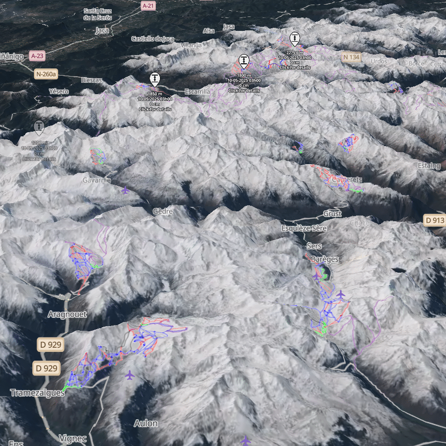
Satellite imagery
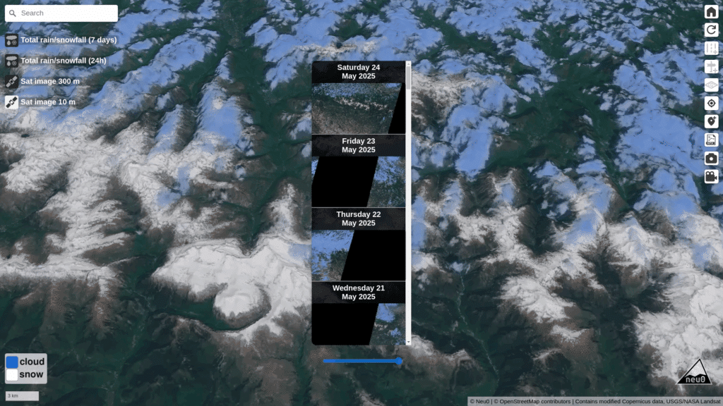
See the snow from above. Our daily-updated satellite imagery is seamlessly layered onto a dynamic 3D map, giving you a near real-time, realistic view of mountain terrain and snow coverage. Rotate, zoom, and explore your region in stunning detail – just don’t blame us when the clouds decide to crash the party !
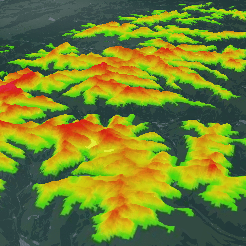
Snow forecasts
Snow forecasts and accumulations are available for the last 7 days, the last 3 days, the next 3 days, and the next 7 days. Detailed forecasts are provided in 24-hour periods, covering several weeks of historical data up to 9 days into the future.
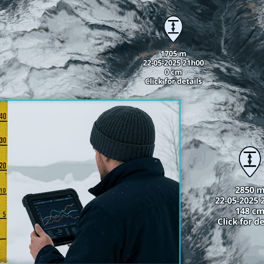
Snow Depth
Snow depth measurements collected from both manual observations and automatic stations are integrated into our maps. While coverage is not available everywhere, this data provides information on snowpack depth at many locations, helping you get a picture of current conditions.
Advanced Features

GPX import
Overlay your track and assess the conditions along your route.

Add Markers
Add markers to your map to highlight points of interest.

Export media
Customize your view and easily save snapshots or animations.

How It Works
Hands-on exploration of 3D maps
- Left click to move the view
- Right click to rotate the camera
- Mouse wheel to zoom in/out
- On mobile: one finger to move, two fingers to zoom or rotate the camera

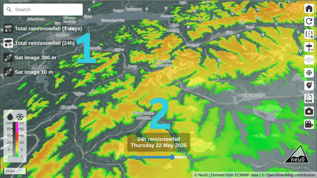
Select a map layer and time
Step 1: Choose your layer from four options: snow accumulation over 3 or 7 days, snow accumulation over a 24-hour period, 300m resolution satellite imagery, or 10m resolution satellite imagery.
Step 2: Select the date or time period by clicking on the calendar to browse through available dates.
Select the best satellite view
Satellite imagery comes in two resolutions: 300m and 10m. When available and cloud-free, 10m images provide the best detail, with updates every 2 to 3 days. The 300m images update daily but offer lower quality. To help you read the maps, neu0 highlights clouds in blue to clearly separate them from snow.
About us
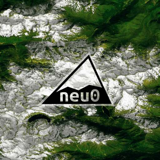
The first version of the site went live at the end of 2022. The image shown here is from the original homepage.
Satellite data and weather forecasts provide complementary insights for assessing snow cover. This site was created to bring some of that information together in one place.
Still a work in progress, it ultimately aims to offer a comprehensive snow cover model based on both weather forecasts and satellite observations.
Developed between Toulouse and the Pyrenees, the project takes its name from its region of origin: neu0 comes from nèu, meaning “snow” in the Occitan language, while the “0” refers to the orbital paths of Earth-observing satellites.
Our Data Sources
Our Satellite Data Providers
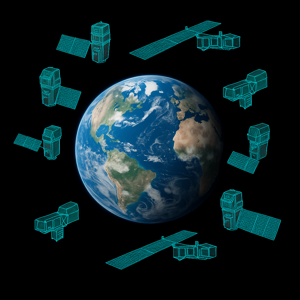
Our satellite imagery is sourced from Copernicus and Landsat programs. The 300m resolution images come from Sentinel-3, while the 10m resolution images are provided by Sentinel-2 and Landsat satellites.
Local snow depth measurements
Neu0 aggregates official reports of fresh and total snow depth from various national meteorological and mountain monitoring services, including Météo-France, Meteo-Suisse, AEMET, Meteomont, DWD, and Lawinen.report.
These measurements are available for select locations, often only during certain parts of the year. Some data are collected automatically, while others are gathered manually.

Choose your area and access all the data instantly
New Zealand
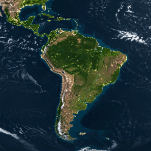
South america
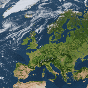

 and then